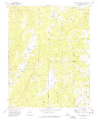
1971 Map of Red Creek Reservoir
USGS Topo · Published 1975About this map
Dixie National Forest dominates this high-altitude landscape along the border of Iron and Garfield counties, where a complex network of canyons and valleys facilitates seasonal livestock movement and water management. The Red Creek Reservoir, supported by a Gaging Station, serves as a critical hydrological hub for the drainage basins of Red Creek and its many tributaries. This 1971 survey captures a moment when the region was defined by rugged backcountry access, evidenced by the extensive web of Jeep Trails and Pack Trails winding through Horse Valley and Butler Valley. Distinctive geological and hydrological features like the Co-op Valley Sinks and numerous named springs, including Cove Spring and Mud Springs, highlight the vital importance of water sources in this arid timberland. Small upland bodies of water such as Hoosier Lake and Horse Lake provide further points of orientation within the dense topography of System Canyon and Caddy Canyon.
Find a feature on this map
46 named features on this map. Tap any name to fly to it.
Don’t see what you’re looking for? This feature index may not catch every label — zoom into the map to look around manually.
Map Details
Editions of this 1971 Red Creek Reservoir Map
2 editions found
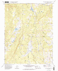
Other maps of this area

1886 · Kanab
USGS Topo · 1:250,000

1953 · Cedar City
USGS Topo · 1:250,000

1958 · Cedar City
USGS Topo · 1:250,000

1958 · Cedar Breaks
USGS Topo · 1:62,500

1958 · Panguitch Lake
USGS Topo · 1:62,500

1962 · Cedar City
USGS Topo · 1:250,000

1971 · Paragonah
USGS Topo · 1:24,000
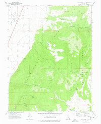
1971 · Cottonwood Mtn
USGS Topo · 1:24,000

1971 · Fivemile Ridge
USGS Topo · 1:24,000

1971 · Parowan
USGS Topo · 1:24,000