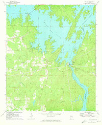
1971 Map of Red Hill
USGS Topo · Published 1973About this map
The Martin Lake shoreline dominates this landscape, reflecting the transformation of the Tallapoosa River valley following the construction of the Martin Dam. Along the irregular western banks, the settlement of Kowaliga and the Church in the Pines serve as focal points for the lakeside community. Further south, the map documents the engineering and industrial footprint at Cherokee Bluffs, where a Powerhouse and Gaging Sta operate near the dam.
Find a feature on this map
22 named features on this map. Tap any name to fly to it.
Don’t see what you’re looking for? This feature index may not catch every label — zoom into the map to look around manually.
Map Details
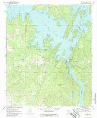
Editions of this 1971 Red Hill Map
2 editions found
Other maps of this area

1901 · Wetumpka
USGS Topo · 1:125,000

1901 · Wetumpka
USGS Topo · 1:62,500

1903 · Wetumpka
USGS Topo · 1:125,000

1906 · Dadeville
USGS Topo · 1:125,000

1953 · Montgomery
USGS Topo · 1:250,000

1955 · Phenix City
USGS Topo · 1:250,000

1956 · Montgomery
USGS Topo · 1:250,000

1957 · Phenix City
USGS Topo · 1:250,000

1957 · Montgomery
USGS Topo · 1:250,000

1958 · Phenix City
USGS Topo · 1:250,000