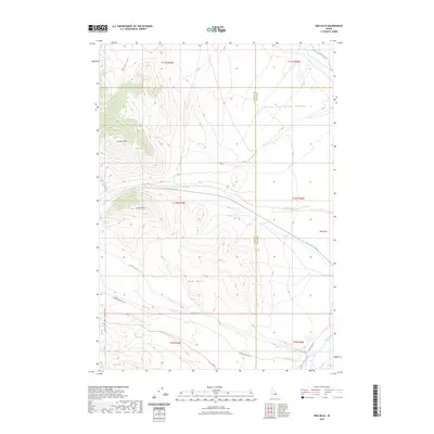
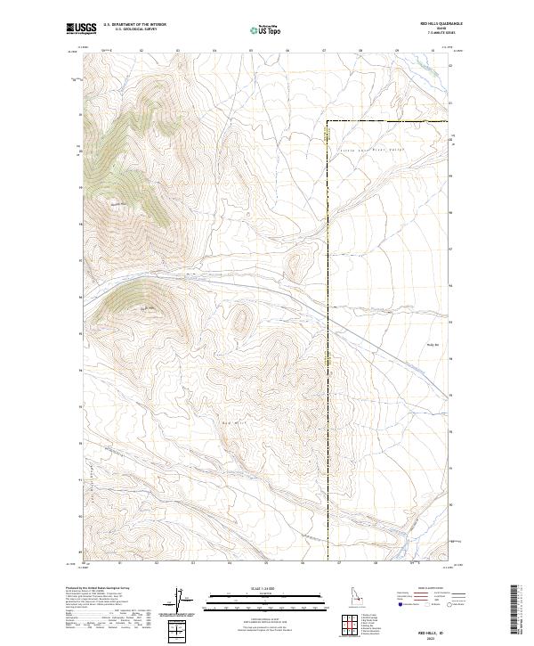
2023 Map of Red Hills
USGS Topo · Published 2023About this map
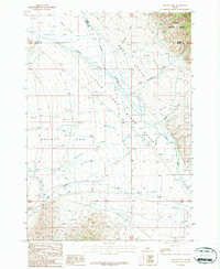
The Little Lost River Valley forms a significant topographical feature in this high-altitude landscape where the Lost River Range meets the Red Hills. The survey illustrates an environment defined by seasonal water management and natural springs, notably the Dry Creek Canal which diverts water across the lower elevations near Mulky Bar. Significant peaks like Taylor Mtn and the Donkey Hills dominate the western portion of the sheet, providing a clear picture of the dramatic elevation changes that characterize this part of Idaho. Genealogists and local historians can trace the paths of water through Corral Creek and Barney Creek, or locate specific natural landmarks like Mud Spring and Camp Springs which were historically vital for livestock and early travel through the high country.
Find a feature on this map
24 named features on this map. Tap any name to fly to it.
Don’t see what you’re looking for? This feature index may not catch every label — zoom into the map to look around manually.
Map Details
Editions of this 2023 Red Hills Map
2 editions found
Other maps of this area

1935 · Borah Peak
USGS Topo · 1:125,000

1938 · Borah Peak
USGS Topo · 1:125,000

1955 · Dubois
USGS Topo · 1:250,000

1956 · Donkey Hills
USGS Topo · 1:62,500

1957 · Gilmore
USGS Topo · 1:62,500

1957 · Hawley Mountain
USGS Topo · 1:62,500

1958 · Dubois
USGS Topo · 1:250,000
1967 · Massacre Mtn
USGS Topo · 1:24,000
1967 · Short Creek
USGS Topo · 1:24,000
1987 · Mulkey Bar
USGS Topo · 1:24,000