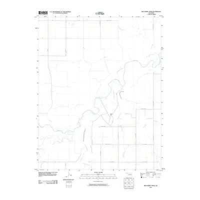
2010 Map of Red Horse Creek
USGS Topo · Published 2010About this map
The Beaver River meanders across this High Plains landscape in Oklahoma's Panhandle, serving as the primary drainage for numerous seasonal tributaries. The drainage network is defined by several watercourses including Red Horse Creek, Bull Creek, and Fulton Creek, which carve subtle paths through the terrain. Human activity is largely represented by a geometric grid of rural roads and the private Walden Ranch, illustrating the transition of the region into a structured ranching and agricultural economy. The road system, with labels such as Mile 59 and Hollow E0240, reflects a highly organized surveying method typical of the Western United States. This survey provides a clear look at the sparsely populated landscape just before the turn of the decade, where natural waterways remained the most prominent landmarks.
Find a feature on this map
22 named features on this map. Tap any name to fly to it.
Don’t see what you’re looking for? This feature index may not catch every label — zoom into the map to look around manually.
Map Details
Editions of this 2010 Red Horse Creek Map
This is the sole edition of this map. No revisions or reprints were ever made.
Other maps of this area

1954 · Perryton
USGS Topo · 1:250,000

1958 · Perryton
USGS Topo · 1:250,000

1967 · Adams
USGS Topo · 1:24,000

1968 · Hardesty SE
USGS Topo · 1:24,000

1968 · Hardesty NE
USGS Topo · 1:24,000

1973 · Boyd
USGS Topo · 1:24,000

1973 · Bryans Corner SW
USGS Topo · 1:24,000

1973 · Turpin East
USGS Topo · 1:24,000

1973 · Red Horse Creek
USGS Topo · 1:24,000

1973 · Bryans Corner
USGS Topo · 1:24,000