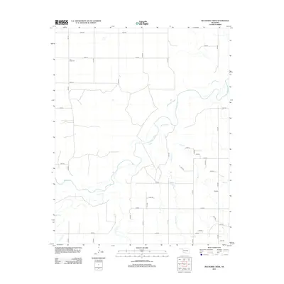
2012 Map of Red Horse Creek
USGS Topo · Published 2012About this map
Union Center Cem sits in the northwestern corner of this landscape, a lone landmark in a territory defined by the winding course of the Beaver River. The river bisects the region, joined by several tributary systems including Red Horse Cr and Bull Cr from the east, and Fulton Cr and Chiquita Cr from the south. The terrain is organized by an extensive grid of section line roads like Mile 58 and E0190 Rd, which connect the dispersed agricultural operations of Texas County. The map provides a clear record of the rural infrastructure at the beginning of the 2010s, tracing the intersection of natural drainage patterns and the strictly surveyed transportation network, such as the north-south corridor of Co Hwy-B.
Find a feature on this map
36 named features on this map. Tap any name to fly to it.
Don’t see what you’re looking for? This feature index may not catch every label — zoom into the map to look around manually.
Map Details
Editions of this 2012 Red Horse Creek Map
This is the sole edition of this map. No revisions or reprints were ever made.
Other maps of this area

1954 · Perryton
USGS Topo · 1:250,000

1958 · Perryton
USGS Topo · 1:250,000

1967 · Adams
USGS Topo · 1:24,000

1968 · Hardesty SE
USGS Topo · 1:24,000

1968 · Hardesty NE
USGS Topo · 1:24,000

1973 · Boyd
USGS Topo · 1:24,000

1973 · Bryans Corner SW
USGS Topo · 1:24,000

1973 · Turpin East
USGS Topo · 1:24,000

1973 · Red Horse Creek
USGS Topo · 1:24,000

1973 · Bryans Corner
USGS Topo · 1:24,000