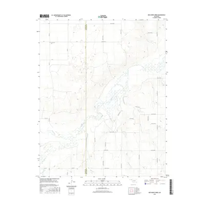
2016 Map of Red Horse Creek
USGS Topo · Published 2016About this map
Beaver River and its multiple tributaries dominate the landscape of the Oklahoma Panhandle along the border of Texas and Beaver counties. This 2016 survey illustrates the intricate drainage system of the High Plains, where the main river channel is fed by Red Horse Cr, Bull Creek, Fulton Cr, Palo Duro Cr, and Chiquita Cr. These waterways create a complex series of hollows and breaks across the terrain, contrasting with the strictly organized grid of agricultural section roads such as Mile 58, Mile 59, and S RD. The presence of the Union Center Cem in the northwestern corner marks a point of local genealogical interest, serving as a landmark within this sparsely settled ranching and farming region where the topography is primarily defined by the erosive force of the river network.
Find a feature on this map
37 named features on this map. Tap any name to fly to it.
Don’t see what you’re looking for? This feature index may not catch every label — zoom into the map to look around manually.
Map Details
Editions of this 2016 Red Horse Creek Map
This is the sole edition of this map. No revisions or reprints were ever made.
Other maps of this area

1954 · Perryton
USGS Topo · 1:250,000

1958 · Perryton
USGS Topo · 1:250,000

1967 · Adams
USGS Topo · 1:24,000

1968 · Hardesty SE
USGS Topo · 1:24,000

1968 · Hardesty NE
USGS Topo · 1:24,000

1973 · Boyd
USGS Topo · 1:24,000

1973 · Bryans Corner SW
USGS Topo · 1:24,000

1973 · Turpin East
USGS Topo · 1:24,000

1973 · Red Horse Creek
USGS Topo · 1:24,000

1973 · Bryans Corner
USGS Topo · 1:24,000