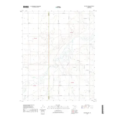
2018 Map of Red Horse Creek
USGS Topo · Published 2018About this map
The Beaver River winds through the high plains of the Oklahoma Panhandle, carving a wide, sandy path across the boundary between Texas Co and Beaver Co. This landscape is defined by its drainage systems, where ephemeral streams like Red Horse Cr, Bull Creek, and Palo Duro Cr converge toward the main river valley. The geometric grid of section lines and gravel roads, including Mile 60 and S Rd, highlights the systematic land division of the region.
Find a feature on this map
43 named features on this map. Tap any name to fly to it.
Don’t see what you’re looking for? This feature index may not catch every label — zoom into the map to look around manually.
Map Details
Editions of this 2018 Red Horse Creek Map
This is the sole edition of this map. No revisions or reprints were ever made.
Other maps of this area

1954 · Perryton
USGS Topo · 1:250,000

1958 · Perryton
USGS Topo · 1:250,000

1967 · Adams
USGS Topo · 1:24,000

1968 · Hardesty SE
USGS Topo · 1:24,000

1968 · Hardesty NE
USGS Topo · 1:24,000

1973 · Boyd
USGS Topo · 1:24,000

1973 · Bryans Corner SW
USGS Topo · 1:24,000

1973 · Turpin East
USGS Topo · 1:24,000

1973 · Red Horse Creek
USGS Topo · 1:24,000

1973 · Bryans Corner
USGS Topo · 1:24,000