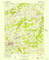
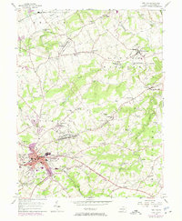
1953 Map of Red Lion
USGS Topo · Published 1956About this map
Industrial and agricultural heritage defines this section of York County, where the Pennsylvania and Maryland and Pennsylvania railroads intersect the growing hub of Red Lion. The landscape is etched with the history of early Pennsylvania industry, notably at Margaretta Furnace and Leiphart Mill, while numerous small settlements like Bittersville and East Prospect are connected by a network of rural schools and churches. Many landmarks, such as Snavelys Sch and Canadochly Ch, reflect the deep-rooted community structure of the Windsor and Lower Windsor townships. Topographically, the area is drained by Kreutz Creek and Fishing Creek, with Mt Pisgah providing a prominent elevation over the surrounding ridges. The map captures a moment of transition as traditional crossroads like Grimms Crossroads and Snyder Corner maintain their identity alongside the expanding residential footprints of the local boroughs.
Find a feature on this map
70 named features on this map. Tap any name to fly to it.
Don’t see what you’re looking for? This feature index may not catch every label — zoom into the map to look around manually.
Map Details
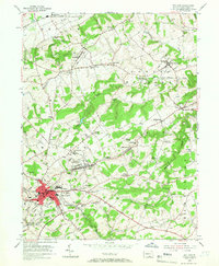
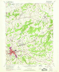
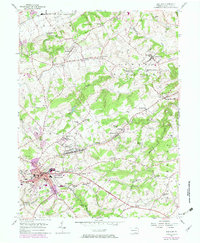
Editions of this 1953 Red Lion Map
5 editions found
Other maps of this area

1902 · Lancaster
USGS Topo · 1:62,500

1904 · Lancaster
USGS Topo · 1:62,500

1908 · Middletown
USGS Topo · 1:62,500

1908 · York
USGS Topo · 1:62,500

1910 · York
USGS Topo · 1:62,500

1912 · Mc Calls Ferry
USGS Topo · 1:62,500

1943 · Lancaster
USGS Topo · 1:62,500

1943 · Middletown
USGS Topo · 1:62,500

1943 · Mc Calls Ferry
USGS Topo · 1:62,500

1948 · Baltimore
USGS Topo · 1:250,000