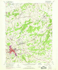
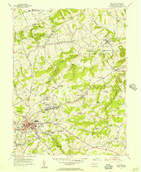
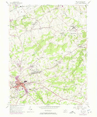
1953 Map of Red Lion
USGS Topo · Published 1969About this map
The rolling hills of York County are anchored by Red Lion and Windsor, reflecting a mid-century landscape of established boroughs and agricultural hollows. The area is defined by the drainage of Kreutz Creek and Cabin Creek, where industry and education once thrived in smaller outposts. One notable remnant of local heritage is Margaretta Furnace, accompanied by its namesake Margaretta Furnace Sch, signaling the transition from early iron-working history to a 20th-century rural-residential patchwork.
Find a feature on this map
70 named features on this map. Tap any name to fly to it.
Don’t see what you’re looking for? This feature index may not catch every label — zoom into the map to look around manually.
Map Details
Editions of this 1953 Red Lion Map
5 editions found
Other maps of this area

1902 · Lancaster
USGS Topo · 1:62,500

1904 · Lancaster
USGS Topo · 1:62,500

1908 · Middletown
USGS Topo · 1:62,500

1908 · York
USGS Topo · 1:62,500

1910 · York
USGS Topo · 1:62,500

1912 · Mc Calls Ferry
USGS Topo · 1:62,500

1943 · Lancaster
USGS Topo · 1:62,500

1943 · Middletown
USGS Topo · 1:62,500

1943 · Mc Calls Ferry
USGS Topo · 1:62,500

1948 · Baltimore
USGS Topo · 1:250,000