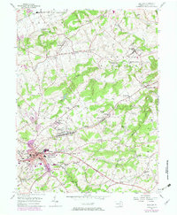
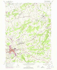
1953 Map of Red Lion
USGS Topo · Published 1974About this map
Red Lion and Windsor anchor this landscape of eastern York County, revealing a dense network of crossroad villages and rural institutions as they appeared in the early 1950s and during the mid-century revision. The industrial legacy of the region is evident in landmarks like Magaretta Furnace and Leiphart Mill, while the Penn Central tracks provide a corridor for transport through the ridges. The terrain is defined by its watercourses, including Fishing Creek and Cabin Creek, which separate small agricultural communities and family-named schools like Snavelys Sch and Dellinger Sch.
Find a feature on this map
63 named features on this map. Tap any name to fly to it.
Don’t see what you’re looking for? This feature index may not catch every label — zoom into the map to look around manually.
Map Details
Editions of this 1953 Red Lion Map
5 editions found
Other maps of this area

1902 · Lancaster
USGS Topo · 1:62,500

1904 · Lancaster
USGS Topo · 1:62,500

1908 · Middletown
USGS Topo · 1:62,500

1908 · York
USGS Topo · 1:62,500

1910 · York
USGS Topo · 1:62,500

1912 · Mc Calls Ferry
USGS Topo · 1:62,500

1943 · Lancaster
USGS Topo · 1:62,500

1943 · Middletown
USGS Topo · 1:62,500

1943 · Mc Calls Ferry
USGS Topo · 1:62,500

1948 · Baltimore
USGS Topo · 1:250,000