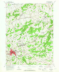
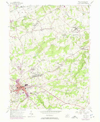
1953 Map of Red Lion
USGS Topo · Published 1966About this map
Red Lion and the surrounding borough of Windsor anchor this mid-century survey of York County, revealing a landscape defined by small-town industry and rural tradition. The map highlights significant historical remnants of the region's early iron and milling economy, including Margaretta Furnace and Leiphart Mill. Settlements like Yorkana, East Prospect, and Craley are connected by a web of local roads and the Pennsylvania railroad line, while the southern reaches of the quadrangle feature the Maryland and Pennsylvania Run. The terrain is characterized by the winding courses of Fishing Creek and Canadochly Creek, which cut through the hills near Mt Pisgah. Numerous local landmarks, from the Western Union Relay Tower to country schools like Nebinger Sch and Snavelys Sch, provide a precise record of the community's infrastructure during the early 1950s.
Find a feature on this map
65 named features on this map. Tap any name to fly to it.
Don’t see what you’re looking for? This feature index may not catch every label — zoom into the map to look around manually.
Map Details
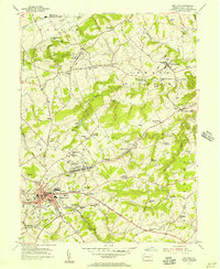
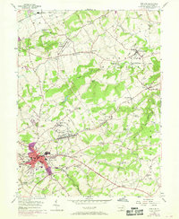
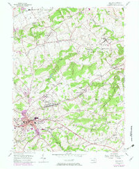
Editions of this 1953 Red Lion Map
5 editions found
Other maps of this area

1902 · Lancaster
USGS Topo · 1:62,500

1904 · Lancaster
USGS Topo · 1:62,500

1908 · Middletown
USGS Topo · 1:62,500

1908 · York
USGS Topo · 1:62,500

1910 · York
USGS Topo · 1:62,500

1912 · Mc Calls Ferry
USGS Topo · 1:62,500

1943 · Lancaster
USGS Topo · 1:62,500

1943 · Middletown
USGS Topo · 1:62,500

1943 · Mc Calls Ferry
USGS Topo · 1:62,500

1948 · Baltimore
USGS Topo · 1:250,000