
1951 Map of Red Shirt NE
USGS Topo · Published 1953About this map
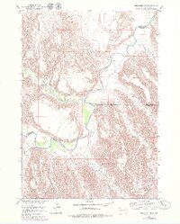
The Pine Ridge Indian Reservation dominates the southern landscape of this mid-century survey, its northern boundary demarcated as it meets the winding course of the Cheyenne River. The terrain is defined by elevated plateaus and erosional draws, most notably the distinct heights of Blindman Table and Plenty Star Table. These landforms rise above a network of seasonal watercourses including Big Corral Draw and Nevis Draw, which carve deep patterns into the earth before reaching the river valley.
Find a feature on this map
19 named features on this map. Tap any name to fly to it.
Don’t see what you’re looking for? This feature index may not catch every label — zoom into the map to look around manually.
Map Details
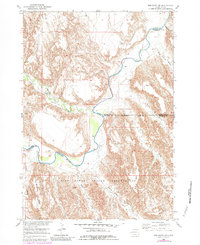
Editions of this 1951 Red Shirt NE Map
3 editions found
Other maps of this area

1950 · Cuny Table East
USGS Topo · 1:24,000

1951 · Red Shirt
USGS Topo · 1:24,000

1951 · Heutmacher Table
USGS Topo · 1:24,000

1951 · Red Shirt SW
USGS Topo · 1:24,000

1951 · Cuny Table West
USGS Topo · 1:24,000

1953 · Folsom
USGS Topo · 1:24,000

1953 · Caputa SW
USGS Topo · 1:24,000

1954 · Scenic SW
USGS Topo · 1:24,000

1955 · Hot Springs
USGS Topo · 1:250,000

1981 · Wall
USGS Topo · 1:100,000