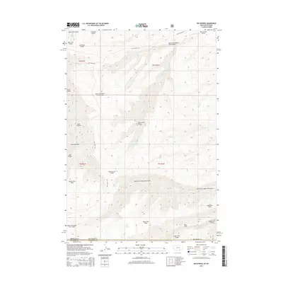
2014 Map of Red Springs
USGS Topo · Published 2014About this map
Red Springs and Tepee Pole Spring mark a rugged landscape where the high plateaus of Sheridan County meet the Montana state line. This 2014 survey documents a territory defined by deep drainage systems and sharp elevation changes, notably within Rotten Grass Canyon and Lodge Grass Canyon. The geography here is a complex network of high ridges, including Telephone Ridge and Buffalo Horn Ridge, which separate the various forks of the local creek systems.
Find a feature on this map
30 named features on this map. Tap any name to fly to it.
Don’t see what you’re looking for? This feature index may not catch every label — zoom into the map to look around manually.
Map Details
Editions of this 2014 Red Springs Map
This is the sole edition of this map. No revisions or reprints were ever made.
Other maps of this area

1894 · St. Xavier
USGS Topo · 1:125,000

1898 · Bald Mountain
USGS Topo · 1:125,000

1901 · St. Xavier
USGS Topo · 1:125,000

1901 · Bald Mountain
USGS Topo · 1:125,000

1954 · Hardin
USGS Topo · 1:250,000

1955 · Sheridan
USGS Topo · 1:250,000

1957 · Hardin
USGS Topo · 1:250,000

1958 · Hardin
USGS Topo · 1:250,000

1958 · Sheridan
USGS Topo · 1:250,000

1960 · Boyd Ridge
USGS Topo · 1:24,000