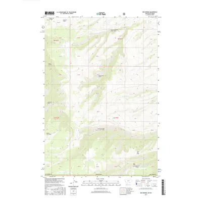
2017 Map of Red Springs
USGS Topo · Published 2017About this map
Red Springs and Point Springs emerge from the high-altitude drainages of this borderland, where the southern edge of Big Horn Co, Montana meets the Wyoming state line. The landscape is defined by a series of deep, named cuts and prominent divides that transition between the two states. Significant geological features such as Soap Creek Canyon and Limestone Canyon dominate the northwestern sector, while the central terrain is marked by the long descent of Rotten Grass Canyon.
Find a feature on this map
40 named features on this map. Tap any name to fly to it.
Don’t see what you’re looking for? This feature index may not catch every label — zoom into the map to look around manually.
Map Details
Editions of this 2017 Red Springs Map
This is the sole edition of this map. No revisions or reprints were ever made.
Other maps of this area

1894 · St. Xavier
USGS Topo · 1:125,000

1898 · Bald Mountain
USGS Topo · 1:125,000

1901 · St. Xavier
USGS Topo · 1:125,000

1901 · Bald Mountain
USGS Topo · 1:125,000

1954 · Hardin
USGS Topo · 1:250,000

1955 · Sheridan
USGS Topo · 1:250,000

1957 · Hardin
USGS Topo · 1:250,000

1958 · Hardin
USGS Topo · 1:250,000

1958 · Sheridan
USGS Topo · 1:250,000

1960 · Boyd Ridge
USGS Topo · 1:24,000