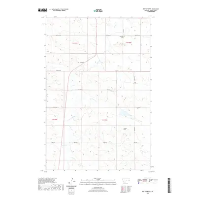
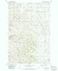
2020 Map of Red Top Butte
USGS Topo · Published 2020About this map
Saint Philips Cem serves as a quiet local landmark in this corner of Wibaux County, where the topography is defined by prominent high points such as Red Top Butte and Jackrabbit Butte. The landscape is etched by the drainage of Beaver Cr and its tributaries, including Duck Cr and Lone Tree Cr. This high-plains terrain features a network of named trails and rural roads, suggesting a long history of cattle ranching and movement across the range. Notable markers like Horse Point and Podolski Butte punctuate the horizon, while historical thoroughfares such as the Custer Trl and Last Chance Trl hint at the early routes used by travelers and settlers navigating the southeastern Montana borderlands.
Find a feature on this map
25 named features on this map. Tap any name to fly to it.
Don’t see what you’re looking for? This feature index may not catch every label — zoom into the map to look around manually.
Map Details
Editions of this 2020 Red Top Butte Map
This is the sole edition of this map. No revisions or reprints were ever made.
Other maps of this area

1953 · Miles City
USGS Topo · 1:250,000

1957 · Miles City
USGS Topo · 1:250,000

1958 · Miles City
USGS Topo · 1:250,000

1981 · Cap Rock
USGS Topo · 1:24,000

1981 · Carlyle
USGS Topo · 1:24,000
1981 · Carlyle NW
USGS Topo · 1:24,000

1981 · Wibaux
USGS Topo · 1:100,000
1982 · Hodges SE
USGS Topo · 1:24,000
1982 · Red Top Butte
USGS Topo · 1:24,000
1982 · Freeman Creek
USGS Topo · 1:24,000