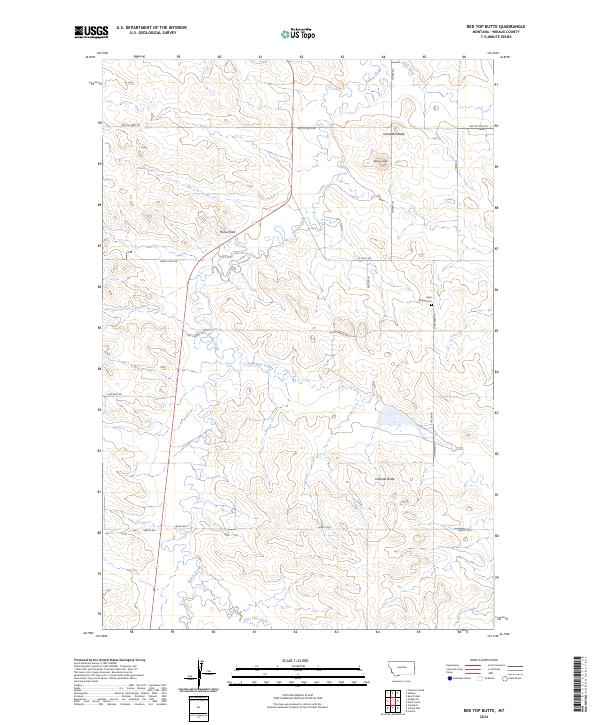
2024 Map of Red Top Butte
USGS Topo · Published 2024About this map
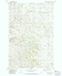
The rolling rangelands of eastern Montana are defined here by a series of prominent high points and a network of historic trails. Local topography is anchored by Jackrabbit Butte, Red-Top Butte, and Podolski Butte, which rise above the drainages of Beaver Creek and Lamesteer Creek. The presence of Saint Philips Cem and family-named roads like Thelen Rd and Begger Ln provide clear points of interest for genealogists tracing the legacy of homesteading families in Wibaux County.
Find a feature on this map
26 named features on this map. Tap any name to fly to it.
Don’t see what you’re looking for? This feature index may not catch every label — zoom into the map to look around manually.
Map Details
Editions of this 2024 Red Top Butte Map
This is the sole edition of this map. No revisions or reprints were ever made.
Other maps of this area

1953 · Miles City
USGS Topo · 1:250,000

1957 · Miles City
USGS Topo · 1:250,000

1958 · Miles City
USGS Topo · 1:250,000

1981 · Cap Rock
USGS Topo · 1:24,000

1981 · Carlyle
USGS Topo · 1:24,000
1981 · Carlyle NW
USGS Topo · 1:24,000

1981 · Wibaux
USGS Topo · 1:100,000
1982 · Hodges SE
USGS Topo · 1:24,000
1982 · Red Top Butte
USGS Topo · 1:24,000
1982 · Freeman Creek
USGS Topo · 1:24,000