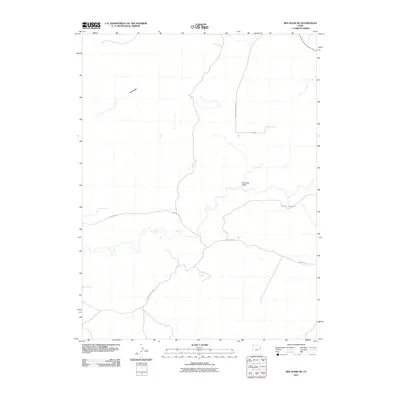
2011 Map of Red Wash SE
USGS Topo · Published 2011About this map
Hatch Reservoir and the drainage of Kennedy Wash define this arid landscape in Uintah County. The terrain is structured by a network of industrial and rural access routes, notably Watson Rd and the Mountain Fuel Brg, which suggest the region's historical and ongoing reliance on energy extraction and utility infrastructure. A prominent corridor for the D G and T Power Plant runs north-to-south, intersecting with local thoroughfares such as E 25500 S. While the area is sparse in terms of major settlements, the presence of the Red Wash waterway and various named infrastructure points provides essential markers for understanding the geography of the eastern Utah desert in the early twenty-first century.
Find a feature on this map
7 named features on this map. Tap any name to fly to it.
Don’t see what you’re looking for? This feature index may not catch every label — zoom into the map to look around manually.
Map Details
Editions of this 2011 Red Wash SE Map
This is the sole edition of this map. No revisions or reprints were ever made.
Other maps of this area

1885 · East Tavaputs
USGS Topo · 1:250,000

1885 · Ashley
USGS Topo · 1:250,000

1907 · Jensen
USGS Topo · 1:125,000

1910 · Jensen
USGS Topo · 1:125,000

1954 · Vernal
USGS Topo · 1:250,000

1956 · Grand Junction
USGS Topo · 1:250,000

1958 · Vernal
USGS Topo · 1:250,000

1959 · Grand Junction
USGS Topo · 1:250,000

1960 · Vernal
USGS Topo · 1:250,000

1960 · Grand Junction
USGS Topo · 1:250,000