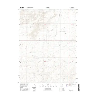
2017 Map of Red Wash SE
USGS Topo · Published 2017About this map
Kennedy Wash and the ephemeral drainage of Coyote Wash carve through this section of the Uinta Basin, defining a landscape shaped by intermittent water and energy infrastructure. The arid terrain in Uintah County is marked by the presence of the Hatch Reservoir, a vital water catchment in an otherwise dry environment. The infrastructure of the modern era is evident through the path of S Desert Power Plant Rd E, which services the industrial needs of the region alongside E 25500 S. This 2017 survey reflects the contemporary organization of public lands under the Bureau of Land Management, showing the township and range divisions such as t8s r23e that govern resource extraction and grazing in this part of eastern Utah.
Find a feature on this map
9 named features on this map. Tap any name to fly to it.
Don’t see what you’re looking for? This feature index may not catch every label — zoom into the map to look around manually.
Map Details
Editions of this 2017 Red Wash SE Map
This is the sole edition of this map. No revisions or reprints were ever made.
Other maps of this area

1885 · East Tavaputs
USGS Topo · 1:250,000

1885 · Ashley
USGS Topo · 1:250,000

1907 · Jensen
USGS Topo · 1:125,000

1910 · Jensen
USGS Topo · 1:125,000

1954 · Vernal
USGS Topo · 1:250,000

1956 · Grand Junction
USGS Topo · 1:250,000

1958 · Vernal
USGS Topo · 1:250,000

1959 · Grand Junction
USGS Topo · 1:250,000

1960 · Vernal
USGS Topo · 1:250,000

1960 · Grand Junction
USGS Topo · 1:250,000