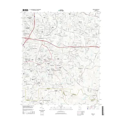
2014 Map of Redan
USGS Topo · Published 2014About this map
The Redan area of DeKalb County appears here as a dense suburban landscape where modern residential subdivisions meet the historical geography of the Piedmont. Extensive residential developments like Benton Harbor, Sterling Lake, and Moonlight Forest indicate the significant population expansion in the region by the early 21st century. Despite this growth, older landmarks remain visible, including several family and community burial grounds such as Hillandale Cem, Mitchell Cem, and Albert Cem.
Find a feature on this map
86 named features on this map. Tap any name to fly to it.
Don’t see what you’re looking for? This feature index may not catch every label — zoom into the map to look around manually.
Map Details
Editions of this 2014 Redan Map
This is the sole edition of this map. No revisions or reprints were ever made.
Other maps of this area

1888 · Atlanta
USGS Topo · 1:125,000

1890 · Atlanta
USGS Topo · 1:125,000

1892 · Atlanta
USGS Topo · 1:125,000

1895 · Atlanta
USGS Topo · 1:125,000

1953 · Atlanta
USGS Topo · 1:250,000

1954 · Conley
USGS Topo · 1:24,000

1954 · Decatur
USGS Topo · 1:24,000

1954 · Jonesboro
USGS Topo · 1:24,000

1956 · Stone Mountain
USGS Topo · 1:24,000

1956 · Snellville
USGS Topo · 1:24,000