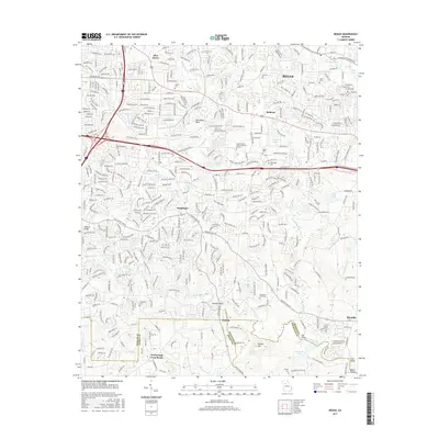
2017 Map of Redan
USGS Topo · Published 2017About this map
Panola Mtn and the surrounding riverine landscape of south DeKalb County define this 2017 survey. The South River winds through the southern portion of the quadrangle, passing through Panola Shoals and alongside the expansive Alexander Lakes. This area reflects a complex heritage, preserved in sites like the Flat Rock Slave Cem and several family burying grounds, including the Mitchell Cem, Stanley Cem, and Matthews Cem.
Find a feature on this map
382 named features on this map. Tap any name to fly to it.
Don’t see what you’re looking for? This feature index may not catch every label — zoom into the map to look around manually.
Map Details
Editions of this 2017 Redan Map
This is the sole edition of this map. No revisions or reprints were ever made.
Other maps of this area

1888 · Atlanta
USGS Topo · 1:125,000

1890 · Atlanta
USGS Topo · 1:125,000

1892 · Atlanta
USGS Topo · 1:125,000

1895 · Atlanta
USGS Topo · 1:125,000

1953 · Atlanta
USGS Topo · 1:250,000

1954 · Conley
USGS Topo · 1:24,000

1954 · Decatur
USGS Topo · 1:24,000

1954 · Jonesboro
USGS Topo · 1:24,000

1956 · Stone Mountain
USGS Topo · 1:24,000

1956 · Snellville
USGS Topo · 1:24,000