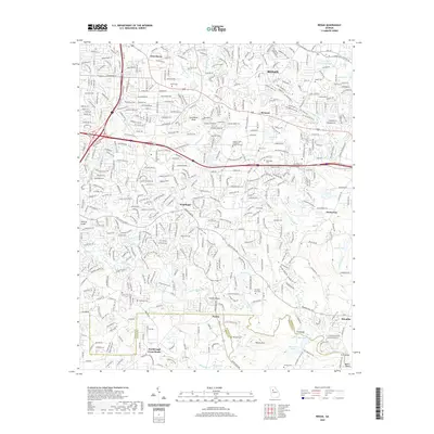
2020 Map of Redan
USGS Topo · Published 2020About this map
Redan and the surrounding DeKalb County landscape are defined by a complex network of tributaries feeding into the South River. This 2020 survey documents the modern suburban character of communities like Snapfinger and Belmont while preserving the location of significant cultural sites. Of particular note for local historians is the Flat Rock Slave Cem located near the Panola Shoals, a site reflecting the deep-rooted history of the region.
Find a feature on this map
50 named features on this map. Tap any name to fly to it.
Don’t see what you’re looking for? This feature index may not catch every label — zoom into the map to look around manually.
Map Details
Editions of this 2020 Redan Map
This is the sole edition of this map. No revisions or reprints were ever made.
Other maps of this area

1888 · Atlanta
USGS Topo · 1:125,000

1890 · Atlanta
USGS Topo · 1:125,000

1892 · Atlanta
USGS Topo · 1:125,000

1895 · Atlanta
USGS Topo · 1:125,000

1953 · Atlanta
USGS Topo · 1:250,000

1954 · Conley
USGS Topo · 1:24,000

1954 · Decatur
USGS Topo · 1:24,000

1954 · Jonesboro
USGS Topo · 1:24,000

1956 · Stone Mountain
USGS Topo · 1:24,000

1956 · Snellville
USGS Topo · 1:24,000