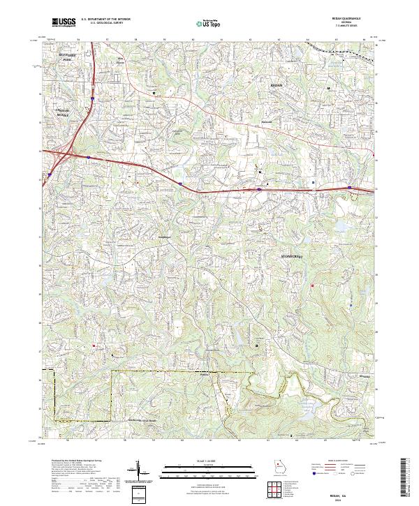
2024 Map of Redan
USGS Topo · Published 2024About this map
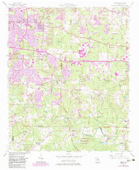
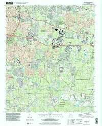
Panola Mountain and the surrounding DeKalb County landscape are captured here in high detail, showcasing the intersection of suburban development and significant local heritage sites. The map documents numerous family and community burial grounds, including the Flat Rock Slave Cem and the Redan Community Cem, providing essential data for genealogists and local historians. This era shows the continued growth of Redan and Stonecrest, while maintaining glimpses of the area's agricultural and rural roots near Panola and Scarbrough Cross Roads.
Find a feature on this map
51 named features on this map. Tap any name to fly to it.
Don’t see what you’re looking for? This feature index may not catch every label — zoom into the map to look around manually.
Map Details
Editions of this 2024 Redan Map
This is the sole edition of this map. No revisions or reprints were ever made.