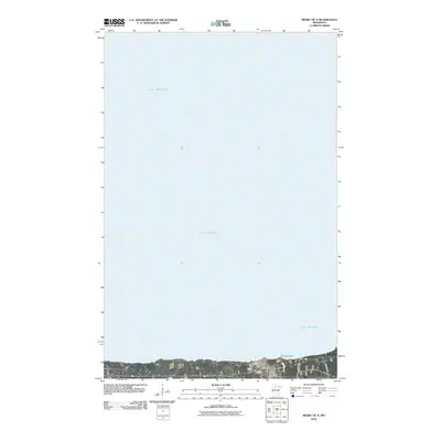
2010 Map of Redby OE N
USGS Topo · Published 2010About this map
Lower Red Lake dominates the vast northern expanse of this 2010 survey, illustrating the critical water-based geography of the Red Lake Indian Reservation. Along the southern shore, the community of Redby serves as the primary hub of activity, where the infrastructure of the Red Lake Tribal Fish Hatchery and the Mud River Dam emphasize the long-standing importance of local fisheries and water management. The map details the residential and administrative core of the area, including the Redby Post Office and local transportation routes like Res Hwy 41 and Res Hwy 40. This sheet provides a clear view of the settlement pattern at the water's edge, where the transition from the lake's surface to the developed shore defines the community's layout.
Find a feature on this map
7 named features on this map. Tap any name to fly to it.
Don’t see what you’re looking for? This feature index may not catch every label — zoom into the map to look around manually.
Map Details
Editions of this 2010 Redby OE N Map
This is the sole edition of this map. No revisions or reprints were ever made.
Other maps of this area

1919 · Ponemah
USGS Topo · 1:62,500

1943 · Ponemah
USGS Topo · 1:62,500

1954 · Bemidji
USGS Topo · 1:250,000

1954 · Roseau
USGS Topo · 1:250,000

1957 · Roseau
USGS Topo · 1:250,000

1957 · Bemidji
USGS Topo · 1:250,000

1958 · Bemidji
USGS Topo · 1:250,000

1958 · Roseau
USGS Topo · 1:250,000

1972 · Redby
USGS Topo · 1:24,000
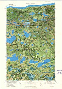
1972 · Red Lake
USGS Topo · 1:24,000