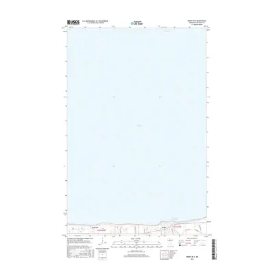
2016 Map of Redby OE N
USGS Topo · Published 2016About this map
The vast expanse of Lower Red Lake dominates this northern Minnesota survey, illustrating the critical interface between the water and the shoreline communities of the Red Lake Indian Reservation. The settlement of Redby sits on the southern bank, where a concentration of infrastructure including Copper City Rd and Resvn Hwy 41 branches out from the lakefront. To the west, the community of Red Lake anchors the coast, separated from the interior by local routes like Shemagun Crk Rd and Whitefeather Rd. The landscape south of the shoreline is marked by the Mud River Reservoir, showing the specialized water management systems in place near the t151n r33w and t151n r34w township lines. This 2016 data provides a clear record of the modern road network and coastal positioning of these lakeside settlements.
Find a feature on this map
14 named features on this map. Tap any name to fly to it.
Don’t see what you’re looking for? This feature index may not catch every label — zoom into the map to look around manually.
Map Details
Editions of this 2016 Redby OE N Map
This is the sole edition of this map. No revisions or reprints were ever made.
Other maps of this area

1919 · Ponemah
USGS Topo · 1:62,500

1943 · Ponemah
USGS Topo · 1:62,500

1954 · Bemidji
USGS Topo · 1:250,000

1954 · Roseau
USGS Topo · 1:250,000

1957 · Roseau
USGS Topo · 1:250,000

1957 · Bemidji
USGS Topo · 1:250,000

1958 · Bemidji
USGS Topo · 1:250,000

1958 · Roseau
USGS Topo · 1:250,000

1972 · Redby
USGS Topo · 1:24,000
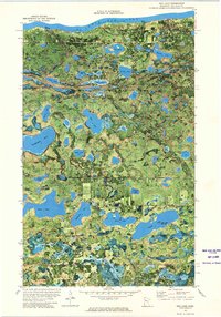
1972 · Red Lake
USGS Topo · 1:24,000