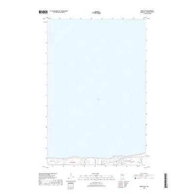
2019 Map of Redby OE N
USGS Topo · Published 2019About this map
Lower Red Lake dominates the geography of this Beltrami County landscape, its expansive waters filling the vast majority of the survey area. This 2019 edition captures the northernmost shoreline of the Red Lake Reservation, where a network of rural roads and residential lanes lines the southern edge of the lake. Local thoroughfares such as Resvn Hwy 41 and Resvn Hwy 40 establish the primary east-west transit corridor, while several named family or local roads like Whitefeather Rd, Graves Rd, and Mc Brides Rd reach toward the water's edge. The layout suggests a lakeside community structured by the Public Land Survey System, specifically within sections of t151n r34w and t151n r33w. For researchers, the map provides a contemporary record of land use and road development along this specific portion of the Red Lake shoreline.
Find a feature on this map
12 named features on this map. Tap any name to fly to it.
Don’t see what you’re looking for? This feature index may not catch every label — zoom into the map to look around manually.
Map Details
Editions of this 2019 Redby OE N Map
This is the sole edition of this map. No revisions or reprints were ever made.
Other maps of this area

1919 · Ponemah
USGS Topo · 1:62,500

1943 · Ponemah
USGS Topo · 1:62,500

1954 · Bemidji
USGS Topo · 1:250,000

1954 · Roseau
USGS Topo · 1:250,000

1957 · Roseau
USGS Topo · 1:250,000

1957 · Bemidji
USGS Topo · 1:250,000

1958 · Bemidji
USGS Topo · 1:250,000

1958 · Roseau
USGS Topo · 1:250,000

1972 · Redby
USGS Topo · 1:24,000
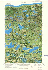
1972 · Red Lake
USGS Topo · 1:24,000