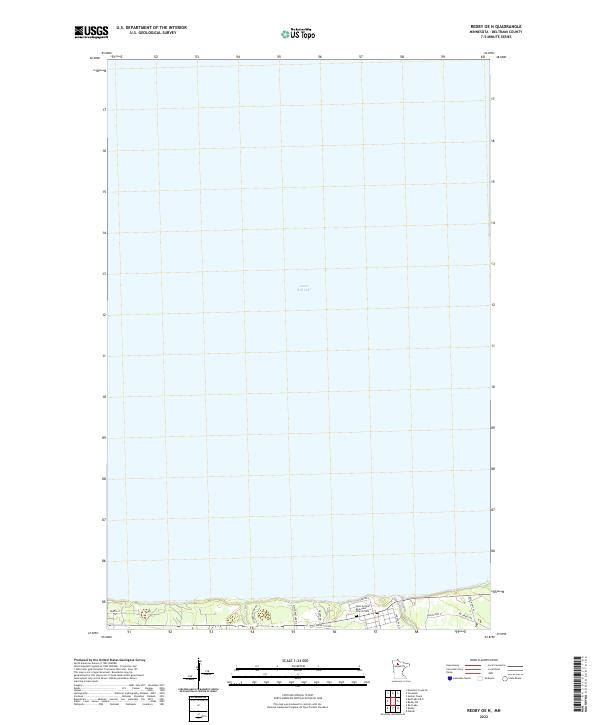
2022 Map of Redby OE N
USGS Topo · Published 2022About this map
Lower Red Lake dominates this northern Minnesota landscape, with its vast surface area covering nearly the entire quadrangle. The southern shoreline reveals a thin ribbon of human activity where the land meets the water. Along this coastal edge, the Saint Antipas Episcopal Church Cem serves as a significant local landmark for genealogists and historians. The infrastructure here is tied to the local economy and reservation management, characterized by a network of roads such as Copper City Rd and Resvn Hwy 41. A Saw Mill located near the shore points to the importance of timber and local industry in this part of Beltrami County. The inland areas are defined by the public land survey system, specifically including the boundaries of t151n r33w, t151n r34w, t152n r33w, and t152n r34w.
Find a feature on this map
17 named features on this map. Tap any name to fly to it.
Don’t see what you’re looking for? This feature index may not catch every label — zoom into the map to look around manually.
Map Details
Editions of this 2022 Redby OE N Map
This is the sole edition of this map. No revisions or reprints were ever made.
Other maps of this area

1919 · Ponemah
USGS Topo · 1:62,500

1943 · Ponemah
USGS Topo · 1:62,500

1954 · Bemidji
USGS Topo · 1:250,000

1954 · Roseau
USGS Topo · 1:250,000

1957 · Roseau
USGS Topo · 1:250,000

1957 · Bemidji
USGS Topo · 1:250,000

1958 · Bemidji
USGS Topo · 1:250,000

1958 · Roseau
USGS Topo · 1:250,000

1972 · Redby
USGS Topo · 1:24,000
1972 · Red Lake
USGS Topo · 1:24,000