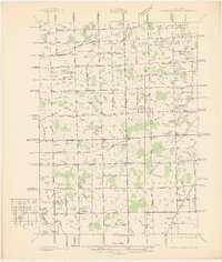
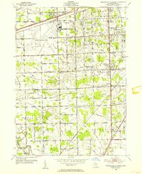
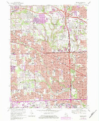
1968 Map of Redford
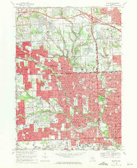
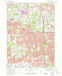
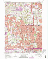
USGS Topo · Published 1971This historical map portrays the area of Redford in 1968, primarily covering Wayne County as well as portions of Oakland County. Featuring a scale of 1:24000, this map provides a highly detailed snapshot of the terrain, roads, buildings, counties, and historical landmarks in the Redford region at the time. Published in 1971, it is one of 4 known editions of this map due to revisions or reprints.
Find a feature on this map
101 named features on this map. Tap any name to fly to it.
Don’t see what you’re looking for? This feature index may not catch every label — zoom into the map to look around manually.
Map Details
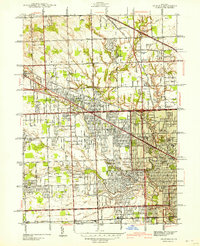
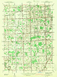
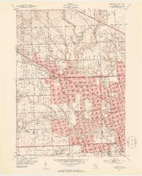
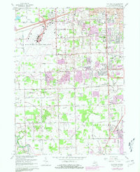
Editions of this 1968 Redford Map
4 editions found
Historical Maps of Detroit Through Time
11 maps found
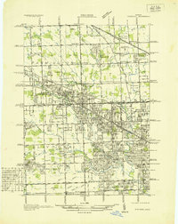
1936 Redford
Wayne County, MI
1936 Wayne Co Airport
Wayne County, MI
1942 Redford
Wayne County, MI
1942 Wayne Co Airport
Wayne County, MI
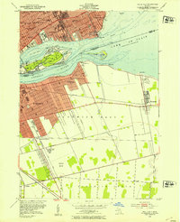
1952 Belle Isle
Wayne County, MI
1952 Detroit Wayne Airport
Wayne County, MI
1952 Redford
Wayne County, MI
1967 Flat Rock NE
Wayne County, MI
1968 Belle Isle
Wayne County, MI
1968 Redford
Wayne County, MI
1985 Lake St. Clair South
Wayne County, MI