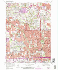
1968 Map of Redford
USGS Topo · Published 1984About this map
The Rouge River and its tributaries, including Bell Creek and Tarabusi Creek, carve through the expanding suburban landscape of Redford, Livonia, and Southfield. This mid-century survey illustrates the intense post-war development of western Detroit, where residential tracts began to surround major institutions like the Holy Sepulchre Cemetery and the Detroit Race Course. The map reflects a period of significant educational growth, evidenced by the numerous campus labels such as Oakland Community College and Redford Union High Sch. Transport infrastructure is dominated by the Northwestern Highway and the Chesapeake and Ohio railroad corridor. While much of the area is subdivided, large green spaces remain at the Plum Hollow Golf Club and Eliza Howell Park, alongside specialized sites like the U S Military Reservation near the Upper River Rouge.
Find a feature on this map
103 named features on this map. Tap any name to fly to it.
Don’t see what you’re looking for? This feature index may not catch every label — zoom into the map to look around manually.
Map Details
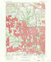
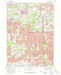
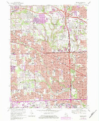
Editions of this 1968 Redford Map
4 editions found
Other maps of this area

1905 · Wayne
USGS Topo · 1:62,500

1905 · Detroit
USGS Topo · 1:62,500

1907 · Pontiac
USGS Topo · 1:62,500

1908 · Rochester
USGS Topo · 1:62,500

1912 · Wayne
USGS Topo · 1:62,500

1918 · Detroit
USGS Topo · 1:62,500

1924 · Detroit
USGS Topo · 1:62,500

1934 · Detroit
USGS Topo · 1:62,500

1936 · Inkster
USGS Topo · 1:31,680

1936 · Wayne
USGS Topo · 1:31,680