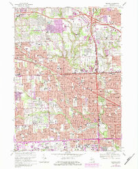
1968 Map of Redford
USGS Topo · Published 1984About this map
The River Rouge and its various branches, including Bell Creek and Tarabusi Creek, carve through the suburban expansion of Livonia and Redford during the late 1960s. This period of rapid growth is evident in the dense network of schools and churches, such as Our Lady of Mercy High Sch and St Michael Sch, alongside large institutional landscapes. Notable landmarks like the Detroit Race Course and the Holy Sepulchre Cemetery occupy significant acreage, while the Chesapeake and Ohio railroad corridor provides an industrial backbone at the southern edge. The map captures the transition of the Oakland and Wayne County border from open land to a contiguous residential fabric, punctuated by green spaces like Eliza Howell Park and the Western Golf and Country Club.
Find a feature on this map
135 named features on this map. Tap any name to fly to it.
Don’t see what you’re looking for? This feature index may not catch every label — zoom into the map to look around manually.
Map Details
Editions of this 1968 Redford Map
4 editions found
Other maps of this area

1905 · Wayne
USGS Topo · 1:62,500

1905 · Detroit
USGS Topo · 1:62,500

1907 · Pontiac
USGS Topo · 1:62,500

1908 · Rochester
USGS Topo · 1:62,500

1912 · Wayne
USGS Topo · 1:62,500

1918 · Detroit
USGS Topo · 1:62,500

1924 · Detroit
USGS Topo · 1:62,500

1934 · Detroit
USGS Topo · 1:62,500

1936 · Inkster
USGS Topo · 1:31,680

1936 · Wayne
USGS Topo · 1:31,680