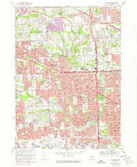
1968 Map of Redford
USGS Topo · Published 1974About this map
Detroit’s western suburbs show a landscape of rapid mid-century expansion on this map, which transitions from the more established blocks of Redford to the developing neighborhoods of Livonia and Southfield. The Rouge River and its branches, including Bell Branch and Tarabusi Creek, carve through the suburban grid, often accompanied by extensive parklands like Eliza Howell Park and the Glenhurst Golf Course. These waterways provided a natural logic for the placement of large institutional properties and massive cemeteries such as the Holy Sepulchre Cemetery and Grand Lawn Cemetery.
Find a feature on this map
144 named features on this map. Tap any name to fly to it.
Don’t see what you’re looking for? This feature index may not catch every label — zoom into the map to look around manually.
Map Details
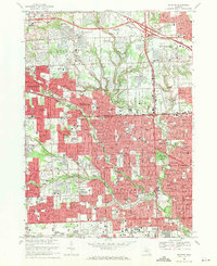
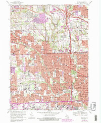
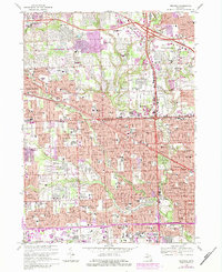
Editions of this 1968 Redford Map
4 editions found
Other maps of this area

1905 · Wayne
USGS Topo · 1:62,500

1905 · Detroit
USGS Topo · 1:62,500

1907 · Pontiac
USGS Topo · 1:62,500

1908 · Rochester
USGS Topo · 1:62,500

1912 · Wayne
USGS Topo · 1:62,500

1918 · Detroit
USGS Topo · 1:62,500

1924 · Detroit
USGS Topo · 1:62,500

1934 · Detroit
USGS Topo · 1:62,500

1936 · Inkster
USGS Topo · 1:31,680

1936 · Wayne
USGS Topo · 1:31,680