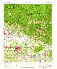
1954 Map of Redlands
USGS Topo · Published 1960About this map
Redlands and its surrounding citrus groves anchor this mid-century survey of the Inland Empire, where the urban grid meets the steep slopes of the San Bernardino National Forest. The map documents a complex rail environment, featuring the Atchison Topeka and Santa Fe and the Pacific Electric lines weaving through settlements like Mentone and Highland. A distinctive historical landmark, the San Gabriel Mission Asistencia, stands near Bryn Mawr, while the massive footprint of Norton Air Force Base reflects the era's military significance.
Find a feature on this map
69 named features on this map. Tap any name to fly to it.
Don’t see what you’re looking for? This feature index may not catch every label — zoom into the map to look around manually.
Map Details
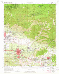
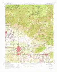
Editions of this 1954 Redlands Map
3 editions found
Other maps of this area

1896 · San Bernardino
USGS Topo · 1:62,500

1898 · San Bernardino
USGS Topo · 1:62,500

1899 · Redlands
USGS Topo · 1:62,500

1901 · Southern California Sheet No. 1
USGS Topo · 1:250,000

1901 · San Jacinto
USGS Topo · 1:125,000

1901 · San Bernardino
USGS Topo · 1:62,500

1901 · Redlands
USGS Topo · 1:62,500

1901 · Elsinore
USGS Topo · 1:125,000

1901 · Riverside
USGS Topo · 1:62,500

1902 · Deep Creek
USGS Topo · 1:62,500