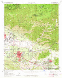
1954 Map of Redlands
USGS Topo · Published 1964About this map
The citrus groves and growing residential street grids of Redlands and Highland anchor this mid-century look at the San Bernardino Valley's eastern edge. The map captures a moment of institutional and military expansion, featuring the sprawling grounds of the Patton State Hospital, the University of Redlands, and the busy operations at Norton Air Force Base. Along the valley floor, the Atchison Topeka and Santa Fe and Southern Pacific railroads dictate the industrial rhythm of towns like Mentone and East Highlands.
Find a feature on this map
84 named features on this map. Tap any name to fly to it.
Don’t see what you’re looking for? This feature index may not catch every label — zoom into the map to look around manually.
Map Details
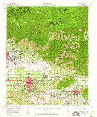
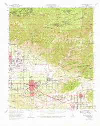
Editions of this 1954 Redlands Map
3 editions found
Other maps of this area

1896 · San Bernardino
USGS Topo · 1:62,500

1898 · San Bernardino
USGS Topo · 1:62,500

1899 · Redlands
USGS Topo · 1:62,500

1901 · Southern California Sheet No. 1
USGS Topo · 1:250,000

1901 · San Jacinto
USGS Topo · 1:125,000

1901 · San Bernardino
USGS Topo · 1:62,500

1901 · Redlands
USGS Topo · 1:62,500

1901 · Elsinore
USGS Topo · 1:125,000

1901 · Riverside
USGS Topo · 1:62,500

1902 · Deep Creek
USGS Topo · 1:62,500