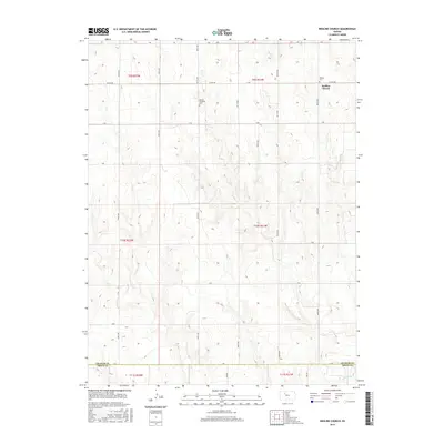
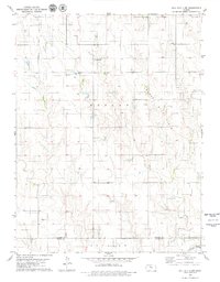
2016 Map of Redline Church
USGS Topo · Published 2016About this map
Redline Church and its neighboring Redline Cem stand along the northern edge of the Trego and Graham County line, marking a pocket of rural settlement in the High Plains of western Kansas. The landscape is defined by the drainage of the Saline River, which cuts across the southeast corner of the quadrangle, and the intermittent flow of Sand Cr through the northern sections. This 2016 survey illustrates the persistent grid of section roads, such as Co RD 406 and 350th Ave, that provide access to isolated farmsteads and historic sites like the Mortan Township Cem. The map provides a clear look at the intersection of township boundaries, including t9s r21w and t10s r21w, where the traditional cattle and wheat country meets the riparian corridors of the Saline valley.
Find a feature on this map
31 named features on this map. Tap any name to fly to it.
Don’t see what you’re looking for? This feature index may not catch every label — zoom into the map to look around manually.
Map Details
Editions of this 2016 Redline Church Map
This is the sole edition of this map. No revisions or reprints were ever made.
Other maps of this area

1893 · Hill
USGS Topo · 1:125,000

1955 · Beloit
USGS Topo · 1:250,000

1959 · Beloit
USGS Topo · 1:250,000
1962 · Wa Keeney East
USGS Topo · 1:24,000
1963 · Hill City 4 SE
USGS Topo · 1:24,000
1963 · Hill City 4 SW
USGS Topo · 1:24,000

1969 · Palco
USGS Topo · 1:24,000

1979 · Bogue
USGS Topo · 1:24,000

1979 · Hill City South
USGS Topo · 1:24,000
1979 · Hill City 4 NW
USGS Topo · 1:24,000