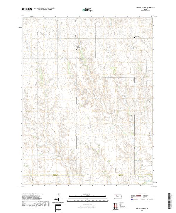
2022 Map of Redline Church
USGS Topo · Published 2022About this map
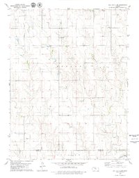
The Saline River cuts through the southernmost portion of this Graham County landscape, where the prairie begins its transition into the Trego County line. This area is characterized by a high-plains drainage network, with Sand Cr flowing through the northern sections towards larger basins. The map provides essential documentation for genealogists and local historians, specifically locating the Redline Cem near the eastern boundary and the Morlan Township Cem further west. These sites, along with the precise grid of township and range lines like t9s r21w and t10s r21w, anchor the rural history of this region. The layout of the road system, from I Rd in the north to A Rd at the county border, reflects the systematic sectioning of the Kansas plains used for agricultural settlement.
Find a feature on this map
32 named features on this map. Tap any name to fly to it.
Don’t see what you’re looking for? This feature index may not catch every label — zoom into the map to look around manually.
Map Details
Editions of this 2022 Redline Church Map
This is the sole edition of this map. No revisions or reprints were ever made.
Other maps of this area

1893 · Hill
USGS Topo · 1:125,000

1955 · Beloit
USGS Topo · 1:250,000

1959 · Beloit
USGS Topo · 1:250,000
1962 · Wa Keeney East
USGS Topo · 1:24,000
1963 · Hill City 4 SE
USGS Topo · 1:24,000
1963 · Hill City 4 SW
USGS Topo · 1:24,000

1969 · Palco
USGS Topo · 1:24,000

1979 · Bogue
USGS Topo · 1:24,000

1979 · Hill City South
USGS Topo · 1:24,000
1979 · Hill City 4 NW
USGS Topo · 1:24,000