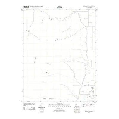
2011 Map of Redmond Canyon
USGS Topo · Published 2011About this map
The Sevier Valley corridor defines this landscape, where early 21st-century agriculture relies on a complex system of irrigation infrastructure. The Piute Canal and Vermillion Canal run parallel to the valley floor, managed alongside features like Little Ditch and Windy Canal Rd. This network of water management enables farming at the base of the Valley Mountains, which dominate the western portion of the map with steep drainages including Lone Cedar Canyon, Redmond Canyon, and Dastrup Canyon. To the southeast, the terrain is punctuated by a series of distinct landmarks known as First Red Knoll, Second Red Knoll, and Third Red Knoll. The map details the transition from high desert peaks like Bald Knoll to the developed rural roads of the valley, such as Japs Valley Rd and Clarion Rd.
Find a feature on this map
25 named features on this map. Tap any name to fly to it.
Don’t see what you’re looking for? This feature index may not catch every label — zoom into the map to look around manually.
Map Details
Editions of this 2011 Redmond Canyon Map
This is the sole edition of this map. No revisions or reprints were ever made.
Other maps of this area

1885 · Manti
USGS Topo · 1:250,000

1885 · Beaver
USGS Topo · 1:250,000

1885 · Sevier Desert
USGS Topo · 1:250,000

1885 · Fish Lake
USGS Topo · 1:250,000

1895 · Manti
USGS Topo · 1:250,000

1896 · Fish Lake
USGS Topo · 1:250,000

1953 · Richfield
USGS Topo · 1:250,000

1953 · Delta
USGS Topo · 1:250,000

1956 · Salina
USGS Topo · 1:250,000

1956 · Price
USGS Topo · 1:250,000