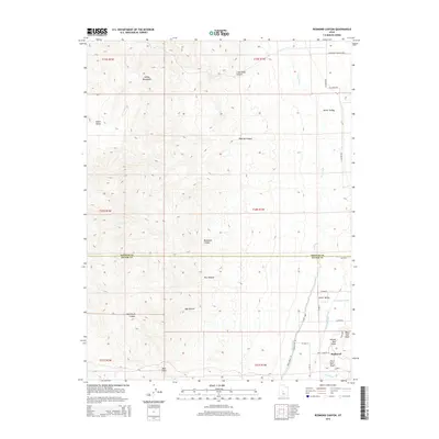
2014 Map of Redmond Canyon
USGS Topo · Published 2014About this map
Sevier Valley agriculture dominates the eastern edge of this 2014 survey, where the settlement of Redmond sits at the base of the Valley Mountains. The landscape is defined by the sophisticated water management systems required for this arid region, including the Piute Canal, Vermillion Canal, and Little Ditch. These man-made waterways follow the contours of the basin, supporting local farms and ranches tucked between the highland slopes and the valley floor.
Find a feature on this map
36 named features on this map. Tap any name to fly to it.
Don’t see what you’re looking for? This feature index may not catch every label — zoom into the map to look around manually.
Map Details
Editions of this 2014 Redmond Canyon Map
This is the sole edition of this map. No revisions or reprints were ever made.
Other maps of this area

1885 · Manti
USGS Topo · 1:250,000

1885 · Beaver
USGS Topo · 1:250,000

1885 · Sevier Desert
USGS Topo · 1:250,000

1885 · Fish Lake
USGS Topo · 1:250,000

1895 · Manti
USGS Topo · 1:250,000

1896 · Fish Lake
USGS Topo · 1:250,000

1953 · Richfield
USGS Topo · 1:250,000

1953 · Delta
USGS Topo · 1:250,000

1956 · Salina
USGS Topo · 1:250,000

1956 · Price
USGS Topo · 1:250,000