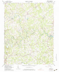
1963 Map of Redwood
USGS Topo · Published 1983About this map
The Blackwater River and Pigg River wind through the heart of Franklin County, defining a landscape of small agricultural settlements and family-held lands. In the early 1960s, this area near Redwood was characterized by a dense network of family cemeteries and local institutions, such as Redwood Sch and Burnt Chimney Ch. The presence of the Norfolk and Western railway and an old RR grade near Franklin Heights suggests the shifting priorities of transportation and commerce during this era.
Find a feature on this map
72 named features on this map. Tap any name to fly to it.
Don’t see what you’re looking for? This feature index may not catch every label — zoom into the map to look around manually.
Map Details
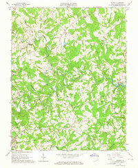
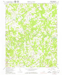
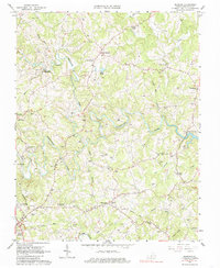
Editions of this 1963 Redwood Map
4 editions found
Other maps of this area

1890 · Roanoke
USGS Topo · 1:125,000

1891 · Roanoke
USGS Topo · 1:125,000

1922 · Callands
USGS Topo · 1:48,000

1924 · Callands
USGS Topo · 1:62,500

1925 · Rocky Mount
USGS Topo · 1:48,000

1927 · Rocky Mount
USGS Topo · 1:62,500

1944 · Rocky Mount
USGS Topo · 1:62,500

1944 · Callands
USGS Topo · 1:62,500

1947 · Roanoke
USGS Topo · 1:250,000

1951 · Boones Mill
USGS Topo · 1:62,500