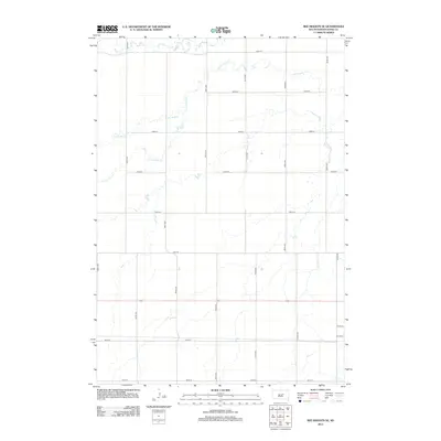
2012 Map of Ree Heights SE
USGS Topo · Published 2012About this map
Little Turtle Creek meanders across this rural section of Hand County, defining the drainage patterns of a landscape shaped by late twentieth-century agricultural grids. The map reveals a strictly organized section-line road network, where routes like 354th Ave and 192nd St intersect to form the framework for remote farmsteads and field boundaries. This hydrographic system, which also includes Wolf Creek and Little Wolf Creek in the north, suggests a prairie environment where water remains the primary natural diversion from the geometric regularity of human settlement. In the south, near the headwaters of Ree Creek, the terrain transitions toward the small-town outskirts of Miller, marked by streets such as W 5th St and W 2nd St.
Find a feature on this map
21 named features on this map. Tap any name to fly to it.
Don’t see what you’re looking for? This feature index may not catch every label — zoom into the map to look around manually.
Map Details
Editions of this 2012 Ree Heights SE Map
This is the sole edition of this map. No revisions or reprints were ever made.
Other maps of this area

1899 · Redfield
USGS Topo · 1:125,000

1949 · Ree Heights NW
USGS Topo · 1:24,000

1950 · Ree Heights SE
USGS Topo · 1:24,000

1950 · Vayland NW
USGS Topo · 1:24,000

1950 · Ree Heights
USGS Topo · 1:24,000

1951 · Ree Heights NW
USGS Topo · 1:24,000

1951 · Ree Heights NE
USGS Topo · 1:24,000

1953 · Huron
USGS Topo · 1:250,000

1954 · Huron
USGS Topo · 1:250,000

1967 · Miller
USGS Topo · 1:24,000