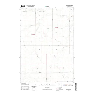
2015 Map of Ree Heights SE
USGS Topo · Published 2015About this map
Miller anchors the southeastern corner of this Hand County landscape, where the prairie is defined by a grid of rural avenues and township sections. The hydrology of the region is shaped by several meandering watercourses, including the westward-flowing Wolf Cr in the north and the complex winding path of Little Turtle Cr which dominates the central plains. Smaller tributaries like Little Wolf Cr and Ree Cr indicate the subtle drainage patterns that have historically influenced agricultural land use in this part of South Dakota. The map meticulously records the township and range boundaries, such as t113n r68w and t112n r69w, providing a clear view of the land division that has structured the area since the era of homesteading.
Find a feature on this map
23 named features on this map. Tap any name to fly to it.
Don’t see what you’re looking for? This feature index may not catch every label — zoom into the map to look around manually.
Map Details
Editions of this 2015 Ree Heights SE Map
This is the sole edition of this map. No revisions or reprints were ever made.
Other maps of this area

1899 · Redfield
USGS Topo · 1:125,000

1949 · Ree Heights NW
USGS Topo · 1:24,000

1950 · Ree Heights SE
USGS Topo · 1:24,000

1950 · Vayland NW
USGS Topo · 1:24,000

1950 · Ree Heights
USGS Topo · 1:24,000

1951 · Ree Heights NW
USGS Topo · 1:24,000

1951 · Ree Heights NE
USGS Topo · 1:24,000

1953 · Huron
USGS Topo · 1:250,000

1954 · Huron
USGS Topo · 1:250,000

1967 · Miller
USGS Topo · 1:24,000