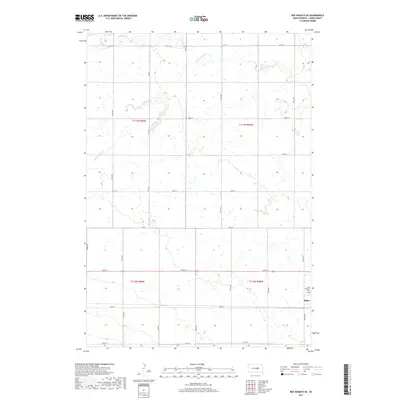
2017 Map of Ree Heights SE
USGS Topo · Published 2017About this map
Miller occupies the southeastern corner of this South Dakota landscape, serving as a primary point of settlement within Hand County. The surrounding terrain is defined by a dendritic network of prairie waterways, including the winding course of Wolf Creek and its local tributaries, Little Wolf Cr and Little Turtle Cr. These drainages create natural breaks in the predominantly agricultural grid, reflecting the hydrologic patterns of the James River Valley region.
Find a feature on this map
6 named features on this map. Tap any name to fly to it.
Don’t see what you’re looking for? This feature index may not catch every label — zoom into the map to look around manually.
Map Details
Editions of this 2017 Ree Heights SE Map
This is the sole edition of this map. No revisions or reprints were ever made.
Other maps of this area

1899 · Redfield
USGS Topo · 1:125,000

1949 · Ree Heights NW
USGS Topo · 1:24,000

1950 · Ree Heights SE
USGS Topo · 1:24,000

1950 · Vayland NW
USGS Topo · 1:24,000

1950 · Ree Heights
USGS Topo · 1:24,000

1951 · Ree Heights NW
USGS Topo · 1:24,000

1951 · Ree Heights NE
USGS Topo · 1:24,000

1953 · Huron
USGS Topo · 1:250,000

1954 · Huron
USGS Topo · 1:250,000

1967 · Miller
USGS Topo · 1:24,000