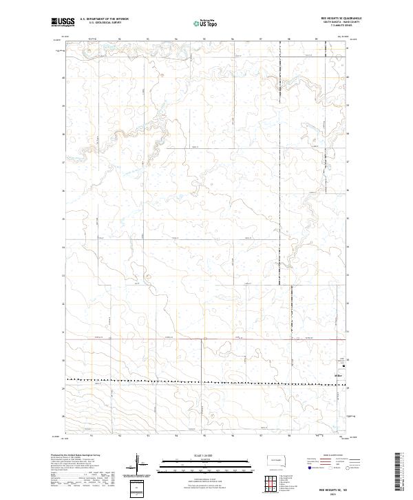
2021 Map of Ree Heights SE
USGS Topo · Published 2021About this map
The town of Miller anchors the eastern edge of this Hand County landscape, where the prairie topography is defined by a network of intermittent drainage systems. The IOOF Hillcrest Cem serves as a significant landmark just north of the settlement, providing a fixed point for genealogical research in this rural township. The terrain is deeply influenced by the winding paths of Little Turtle Cr, Wolf Creek, and Little Wolf Cr, which meander through the northern and western sections of the quadrangle. These waterways create the subtle shifts in elevation that characterize the region's agricultural layout, with section lines and rural roads like Co Rd 4 following the Public Land Survey System grid. In the south, Ree Cr cuts through the plains, further illustrating the drainage patterns that have historically dictated farmstead placement and land use across the South Dakota interior.
Find a feature on this map
27 named features on this map. Tap any name to fly to it.
Don’t see what you’re looking for? This feature index may not catch every label — zoom into the map to look around manually.
Map Details
Editions of this 2021 Ree Heights SE Map
This is the sole edition of this map. No revisions or reprints were ever made.
Other maps of this area

1899 · Redfield
USGS Topo · 1:125,000

1949 · Ree Heights NW
USGS Topo · 1:24,000

1950 · Ree Heights SE
USGS Topo · 1:24,000

1950 · Vayland NW
USGS Topo · 1:24,000

1950 · Ree Heights
USGS Topo · 1:24,000

1951 · Ree Heights NW
USGS Topo · 1:24,000

1951 · Ree Heights NE
USGS Topo · 1:24,000

1953 · Huron
USGS Topo · 1:250,000

1954 · Huron
USGS Topo · 1:250,000

1967 · Miller
USGS Topo · 1:24,000