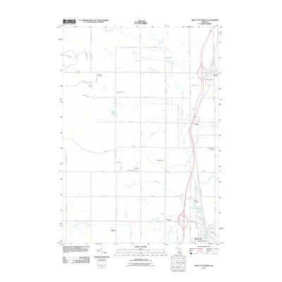
2011 Map of Reed City North
USGS Topo · Published 2011About this map
Reed City serves as the southern anchor of this northern Michigan landscape, where the Hersey River and its numerous tributaries create a complex hydrological network. The map reveals a transition from the structured street grid of the city, complete with the Reed City Post Office, to the more dispersed agricultural and forest lands of Osceola County. Small settlements like Ashton and Orono are connected by a mix of modern highways and historical pathways, including the White Pine Trl, which repurposes old rail corridors. A dense concentration of rural burial grounds, such as the German Cemetery, Pinora Cemetery, and Wilson Cemetery, suggests a long-established community structure. Water features dominate the terrain, from the Little Manistee River at the northern edge to smaller bodies like Lake No Sho Mo and Deer Lake.
Find a feature on this map
68 named features on this map. Tap any name to fly to it.
Don’t see what you’re looking for? This feature index may not catch every label — zoom into the map to look around manually.
Map Details
Editions of this 2011 Reed City North Map
This is the sole edition of this map. No revisions or reprints were ever made.
Other maps of this area

1931 · Chase NE
USGS Topo · 1:31,680

1932 · Chase NW
USGS Topo · 1:31,680

1933 · Luther SE
USGS Topo · 1:31,680

1933 · Luther SW
USGS Topo · 1:31,680

1954 · Traverse City
USGS Topo · 1:250,000

1954 · Midland
USGS Topo · 1:250,000

1957 · Cadillac South
USGS Topo · 1:62,500

1957 · Luther
USGS Topo · 1:62,500

1958 · Traverse City
USGS Topo · 1:250,000

1958 · Midland
USGS Topo · 1:250,000