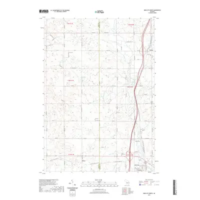
2019 Map of Reed City North
USGS Topo · Published 2019About this map
The Osceola County Courthouse in Reed City serves as a focal point for this region, where the Hersey River and its numerous tributaries like Kissinger Cr and Jewitt Cr shape the terrain. This landscape is defined by its transition from the northern reaches of the city to the smaller settlements of Ashton and Olivers. The map reveals a dense network of local history through its many burial grounds, including the German Cem, Wilson Cem, and Deer Lake Cem, which are scattered among the agricultural plots and woodlots.
Find a feature on this map
89 named features on this map. Tap any name to fly to it.
Don’t see what you’re looking for? This feature index may not catch every label — zoom into the map to look around manually.
Map Details
Editions of this 2019 Reed City North Map
This is the sole edition of this map. No revisions or reprints were ever made.
Other maps of this area

1931 · Chase NE
USGS Topo · 1:31,680

1932 · Chase NW
USGS Topo · 1:31,680

1933 · Luther SE
USGS Topo · 1:31,680

1933 · Luther SW
USGS Topo · 1:31,680

1954 · Traverse City
USGS Topo · 1:250,000

1954 · Midland
USGS Topo · 1:250,000

1957 · Cadillac South
USGS Topo · 1:62,500

1957 · Luther
USGS Topo · 1:62,500

1958 · Traverse City
USGS Topo · 1:250,000

1958 · Midland
USGS Topo · 1:250,000