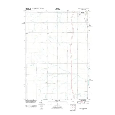
2011 Map of Reed City South
USGS Topo · Published 2011About this map
Reed City and the surrounding township lands are defined by a network of creeks and small rural settlements in this 2011 survey. The northern edge of the map features Woodland Cemetery and the Mennonite Cemetery, while the village of Paris sits to the south along the Muskegon River, home to the Paris Post Office. The landscape is a grid of section roads like Lakola Rd and Northland Dr, interspersed with local landmarks such as Kellars Corners and the community of Hawkins.
Find a feature on this map
57 named features on this map. Tap any name to fly to it.
Don’t see what you’re looking for? This feature index may not catch every label — zoom into the map to look around manually.
Map Details
Editions of this 2011 Reed City South Map
This is the sole edition of this map. No revisions or reprints were ever made.
Other maps of this area

1931 · Chase NE
USGS Topo · 1:31,680

1932 · Chase NW
USGS Topo · 1:31,680

1954 · Midland
USGS Topo · 1:250,000

1958 · Midland
USGS Topo · 1:250,000

1958 · Woodville
USGS Topo · 1:62,500

1958 · Big Rapids
USGS Topo · 1:62,500

1959 · Midland
USGS Topo · 1:250,000

1959 · Evart
USGS Topo · 1:62,500

1959 · Reed City
USGS Topo · 1:62,500

1966 · Midland
USGS Topo · 1:250,000