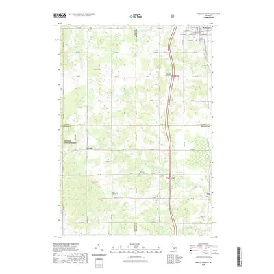
2019 Map of Reed City South
USGS Topo · Published 2019About this map
Reed City sits at the northern edge of this West Michigan survey, where the convergence of several county boundaries—Lake, Osceola, Newaygo, and Mecosta—defines the local geography. The landscape is marked by a dense network of country roads and several small watercourses, including Johnson Cr and Buckhorn Cr, that feed into the larger Paris Cr system. To the south, the settlement of Paris anchors the lower right corner, while the western reaches are dominated by the woodland of the Manistee National Forest near Hawkins.
Find a feature on this map
60 named features on this map. Tap any name to fly to it.
Don’t see what you’re looking for? This feature index may not catch every label — zoom into the map to look around manually.
Map Details
Editions of this 2019 Reed City South Map
This is the sole edition of this map. No revisions or reprints were ever made.
Other maps of this area

1931 · Chase NE
USGS Topo · 1:31,680

1932 · Chase NW
USGS Topo · 1:31,680

1954 · Midland
USGS Topo · 1:250,000

1958 · Midland
USGS Topo · 1:250,000

1958 · Woodville
USGS Topo · 1:62,500

1958 · Big Rapids
USGS Topo · 1:62,500

1959 · Midland
USGS Topo · 1:250,000

1959 · Evart
USGS Topo · 1:62,500

1959 · Reed City
USGS Topo · 1:62,500

1966 · Midland
USGS Topo · 1:250,000