
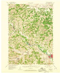
1956 Map of Reedsburg
USGS Topo · Published 1958About this map
The Baraboo River carves a winding path through this mid-century landscape, anchoring a series of valley settlements connected by the Chicago and North Western railroad. In the southeast, the city of Reedsburg serves as a prominent hub, notably home to the Teachers College. The surrounding rural townships, including Wonewoc, La Valle, and Ironton, are densely dotted with early local infrastructure that illustrates the area's educational and social history.
Find a feature on this map
99 named features on this map. Tap any name to fly to it.
Don’t see what you’re looking for? This feature index may not catch every label — zoom into the map to look around manually.
Map Details
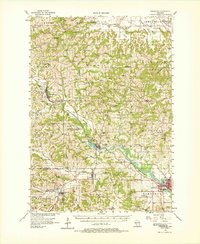
Editions of this 1956 Reedsburg Map
3 editions found
Other maps of this area

1901 · Denzer
USGS Topo · 1:62,500

1901 · The Dells
USGS Topo · 1:62,500

1905 · Richland Center
USGS Topo · 1:125,000

1919 · Kendall
USGS Topo · 1:62,500

1921 · Mauston
USGS Topo · 1:62,500

1921 · Kendall
USGS Topo · 1:62,500

1927 · Hillsboro
USGS Topo · 1:62,500

1957 · Wisconsin Dells
USGS Topo · 1:62,500

1957 · Madison
USGS Topo · 1:250,000

1958 · North Freedom
USGS Topo · 1:62,500