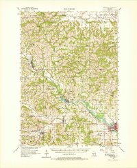
1956 Map of Reedsburg
USGS Topo · Published 1978About this map
The Baraboo River carves a winding path through the heart of the Driftless Area, anchoring a corridor of rail-dependent settlements in the mid-1950s. The Chicago and North Western railroad dictates the local geography, connecting Wonewoc, La Valle, and the bustling hub of Reedsburg. This survey captures the region during a period of transition for its rural education system, evidenced by the numerous district schools like Oak Hill Sch and the notation of the St Paul Sch (Abandoned). Near the southern edge, the Teachers College in Reedsburg stands as a significant landmark for regional professional development. The landscape is defined by tight ridges such as Harrison Ridge and Mullin Ridge, where small family cemeteries like Reese Cem and Solchenberger Cem are found tucked into the hollows. Distinctive geologic features, including Lighthouse Rock and Castle Rocks, serve as prominent natural markers amidst the network of dairy farms and woodlots.
Find a feature on this map
96 named features on this map. Tap any name to fly to it.
Don’t see what you’re looking for? This feature index may not catch every label — zoom into the map to look around manually.
Map Details
Editions of this 1956 Reedsburg Map
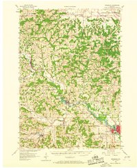
3 editions found
Other maps of this area

1901 · Denzer
USGS Topo · 1:62,500

1901 · The Dells
USGS Topo · 1:62,500

1905 · Richland Center
USGS Topo · 1:125,000

1919 · Kendall
USGS Topo · 1:62,500

1921 · Mauston
USGS Topo · 1:62,500

1921 · Kendall
USGS Topo · 1:62,500

1927 · Hillsboro
USGS Topo · 1:62,500

1956 · Reedsburg
USGS Topo · 1:62,500

1957 · Wisconsin Dells
USGS Topo · 1:62,500

1957 · Madison
USGS Topo · 1:250,000