
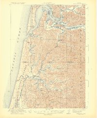
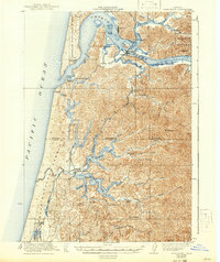
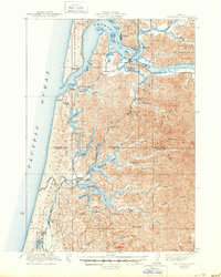
1923 Map of Reedsport
USGS Topo · Published 1923About this map
The Umpqua River and Smith River converge near the early 20th-century hubs of Gardiner and Reedsport, where the timber and fishing industries defined the local economy. Coastal operations are evident through the presence of a Coast Guard Station and the Umpqua LH lighthouse, standing watch over Winchester Bay. Further inland, the map captures a rural network of schoolhouses serving small lakeside communities, including Schofield School, Big Creek School, and Lakeview School near the shores of Eel Lake.
Find a feature on this map
50 named features on this map. Tap any name to fly to it.
Don’t see what you’re looking for? This feature index may not catch every label — zoom into the map to look around manually.
Map Details
Editions of this 1923 Reedsport Map
4 editions found
Other maps of this area

1896 · Coos Bay
USGS Topo · 1:125,000

1898 · Coos Bay
USGS Topo · 1:125,000

1900 · Coos Bay
USGS Topo · 1:125,000

1919 · Earl
USGS Topo · 1:48,000

1920 · Siltcoos Lake
USGS Topo · 1:62,500

1928 · Sitkum
USGS Topo · 1:125,000

1941 · Siltcoos Lake
USGS Topo · 1:62,500

1942 · Siltcoos Lake
USGS Topo · 1:62,500

1942 · Reedsport
USGS Topo · 1:62,500

1942 · Empire
USGS Topo · 1:62,500