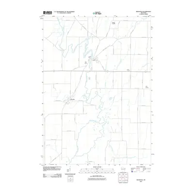
2010 Map of Reeseville
USGS Topo · Published 2010About this map
The Beaver Dam River meanders south through this Dodge County landscape, anchoring the settlements of Lowell and Reeseville. This 2010 survey illustrates a predominantly agricultural region defined by its waterway network, including Pratt Creek and Cold Spring Creek. The hydrological significance of the area is centered at the Lowell Dam, while the presence of Saint Johns Cemetery, United Cemetery, and Saint Isidore Cemetery provides essential points of reference for local family history research.
Find a feature on this map
54 named features on this map. Tap any name to fly to it.
Don’t see what you’re looking for? This feature index may not catch every label — zoom into the map to look around manually.
Map Details
Editions of this 2010 Reeseville Map
This is the sole edition of this map. No revisions or reprints were ever made.
Other maps of this area
1891 · Waterloo
USGS Topo · 1:62,500
1892 · Watertown
USGS Topo · 1:62,500
1894 · Waterloo
USGS Topo · 1:62,500
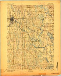
1894 · Watertown
USGS Topo · 1:62,500
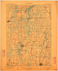
1910 · Waterloo
USGS Topo · 1:62,500
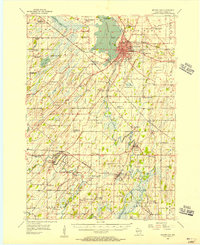
1955 · Beaver Dam
USGS Topo · 1:62,500
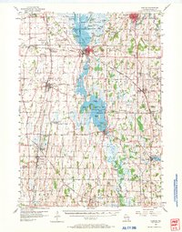
1955 · Horicon
USGS Topo · 1:62,500

1957 · Madison
USGS Topo · 1:250,000
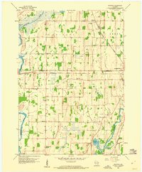
1959 · Richwood
USGS Topo · 1:24,000
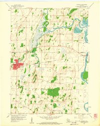
1959 · Waterloo
USGS Topo · 1:24,000