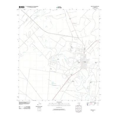
2010 Map of Refugio
USGS Topo · Published 2010About this map
The Mission River and its meandering tributaries dominate this coastal prairie landscape, carving through the terrain near the town of Refugio. The area is characterized by a significant concentration of local heritage sites, including Holy Cross Cemetery, Mount Calvary Cemetery, and Oakwood Cemetery clustered near the settlement. This 2010 survey highlights the intersection of the region's ranching and natural resources, featuring the Refugio Oil Field and the Mission River Oil and Gas Field which flank the primary waterways.
Find a feature on this map
38 named features on this map. Tap any name to fly to it.
Don’t see what you’re looking for? This feature index may not catch every label — zoom into the map to look around manually.
Map Details
Editions of this 2010 Refugio Map
This is the sole edition of this map. No revisions or reprints were ever made.
Other maps of this area

1953 · Beeville
USGS Topo · 1:250,000

1954 · Rockport
USGS Topo · 1:62,500

1954 · Woodsboro
USGS Topo · 1:62,500

1954 · Vidaurri
USGS Topo · 1:62,500

1954 · Refugio
USGS Topo · 1:62,500

1956 · Beeville
USGS Topo · 1:250,000

1960 · Beeville
USGS Topo · 1:250,000

1978 · Woodsboro
USGS Topo · 1:24,000

1978 · Ryanville
USGS Topo · 1:24,000

1978 · Vidaurri
USGS Topo · 1:24,000